Situated on the eastern edge of Nantucket Island, Sankaty Bluff serves as a remarkable natural laboratory where the island’s geological story is written in layers of earth and time. This coastal formation offers more than just stunning views of the Atlantic—it provides a unique window into the island’s complex geological history spanning hundreds of thousands of years. Unlike anywhere else on Nantucket, visitors to Sankaty Bluff can witness firsthand the three distinct geological layers that form the foundation of the island, each telling its own chapter in Earth’s unfolding tale.
What makes Sankaty Bluff truly exceptional is the rare opportunity to observe a complete cross-section of Nantucket’s geological makeup. The youngest layer, formed during the Wisconsinan Glacial Stage approximately 25,000 years ago, consists of sand, gravel, and boulders deposited by the last glacier to cover the region. Beneath this lies evidence of the Sangamonian Interglacial Stage—ancient ocean bottom sediments from a warmer period when sea levels were higher. At the base rests the oldest visible layer: glacial materials from the Illinoian Glacial Stage that occurred over 130,000 years ago. Together, these exposed strata reveal the cyclical nature of Nantucket’s formation through repeated glaciation and warming periods.
A visit to Sankaty Bluff offers more than geological education—it provides a tangible connection to the forces that shaped not just Nantucket but much of New England’s coastal landscape. The dramatic erosion that has exposed these layers continues today, making the bluff both a scientific marvel and a testament to the interplay between land and sea. Visitors often express awe at realizing they’re observing hundreds of thousands of years of Earth’s history in a single glance. The layered appearance of the bluff, with its distinct coloration and composition, creates a natural timeline that even those without geological training can appreciate.
For those interested in Nantucket’s natural history, Sankaty Bluff serves as the island’s most thorough geological textbook. The visible layers help explain many of Nantucket’s unique features—from its characteristic rolling topography to the composition of its soils and distinctive ecosystem. Understanding these foundational elements provides context for appreciating how the island has evolved and continues to change. Local conservation efforts focus on documenting and preserving this geological record, even as natural erosion gradually reshapes the bluff with each passing storm.
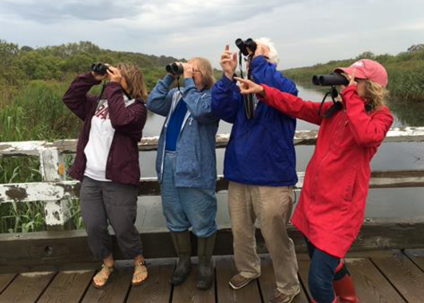
The Sankaty Bluff hiking experience begins at the Hoicks Hollow Road public way, where visitors start on a 1.6-mile trail that combines breathtaking coastal scenery with fascinating geological exploration. Guided by knowledgeable naturalists from Nantucket Walkabout, hikers walk southward along the beach to areas where erosion has created clear views of all three geological layers. The trail offers numerous opportunities to examine the distinct characteristics of each stratum, from the comparatively recent glacial till with its mix of boulders and sand to the ancient compressed sediments that reference warmer interglacial periods and higher sea levels.
Along the route, guides point out how these different layers interact with current erosion patterns and contribute to the ongoing evolution of Nantucket’s shoreline. The visible contrast between layers—sometimes marked by dramatic color changes or composition differences—provides amateur geologists with easily identifiable markers of climate shifts that occurred tens of thousands of years apart. Many hikers find that physically touching these different materials creates a profound connection to the island’s deep history, making abstract geological concepts tangible in a way textbooks simply cannot achieve.
To experience this geological wonder firsthand, interested visitors should check the Nantucket Walkabout Hike Calendar for scheduled Sankaty Bluff tours or contact them directly to arrange a private excursion. After completing this highlighted hike, guests are encouraged to continue exploring Nantucket’s natural areas independently. The island boasts more than 15,000 acres of conservation land managed by organizations including the Nantucket Conservation Foundation, the Nantucket Islands Land Bank, and several other environmental trusts. Guides provide participants with maps from these conservation organizations to facilitate further adventures across Nantucket’s diverse landscapes.